About

Viewpoint Geospatial is a woman-owned business and part of Esri’s Partner Network. We have a passion for education and innovation, and have years of experience working in the public sector with GIS for utilities, asset management, planning, and public safety (fire, police, and communications). In addition, we excel in application and workflow development, database design, data management and maintenance, and integration of geospatial information across platforms. We strive to make accessible solutions for entities of all sizes and users in all roles, customized to their needs, for increased organizational efficiency.
Our goal is to leverage the power of GIS technology to make a positive impact on the world around us.
What Our Clients Say
Viewpoint Geospatial has been an outstanding partner, providing exceptional expertise in geospatial analytics. Their support has greatly enhanced operational planning, accreditation processes, and data visualization, enabling more informed decision-making and improved service outcomes. Their precision, professionalism, and responsiveness distinguish them as a trusted leader in the field. Collaborating with Viewpoint Geospatial has been seamless, and I highly recommend their services to any organization seeking top-tier geospatial solutions.
David Metish, Administrative Captain & Accreditation ManagerViewpoint Geospatial delivered mapping solutions, detailed spatial analysis, geodatabase development, and custom GIS systems. Their team brought a high level of technical skill to each engagement, solving complex problems and providing clear analysis for strategic decision making. Most impressively, they established processes so internal staff can easily maintain those systems and databases once the project was completed.
Beyond technical competence, what really distinguishes Viewpoint Geospatial is their collaboration. They communicate clearly throughout each project, keeping us informed of progress, and promptly answering any questions. Deliverables were completed on time and within scope, making them a reliable partner throughout.
Ken Kopicky, Application Services ManagerWe've worked with Viewpoint Geospatial since their inception and are proud to partner with them! Their existing relationships with vendors, as well as other public service agencies, allow us to quickly glean operational insights and implement best practices. They've enabled us to quickly roll out ESRI solutions and trouble shoot GIS issues with multiple public safety vendors. Out of all the consultants I've used in my career, Viewpoint Geospatial is one of the few who I would wholeheartedly recommend. No surprises here. Just a phenomenal and personable GIS expert.
Teng Keng Vang, Business Intelligence AnalystOur Team
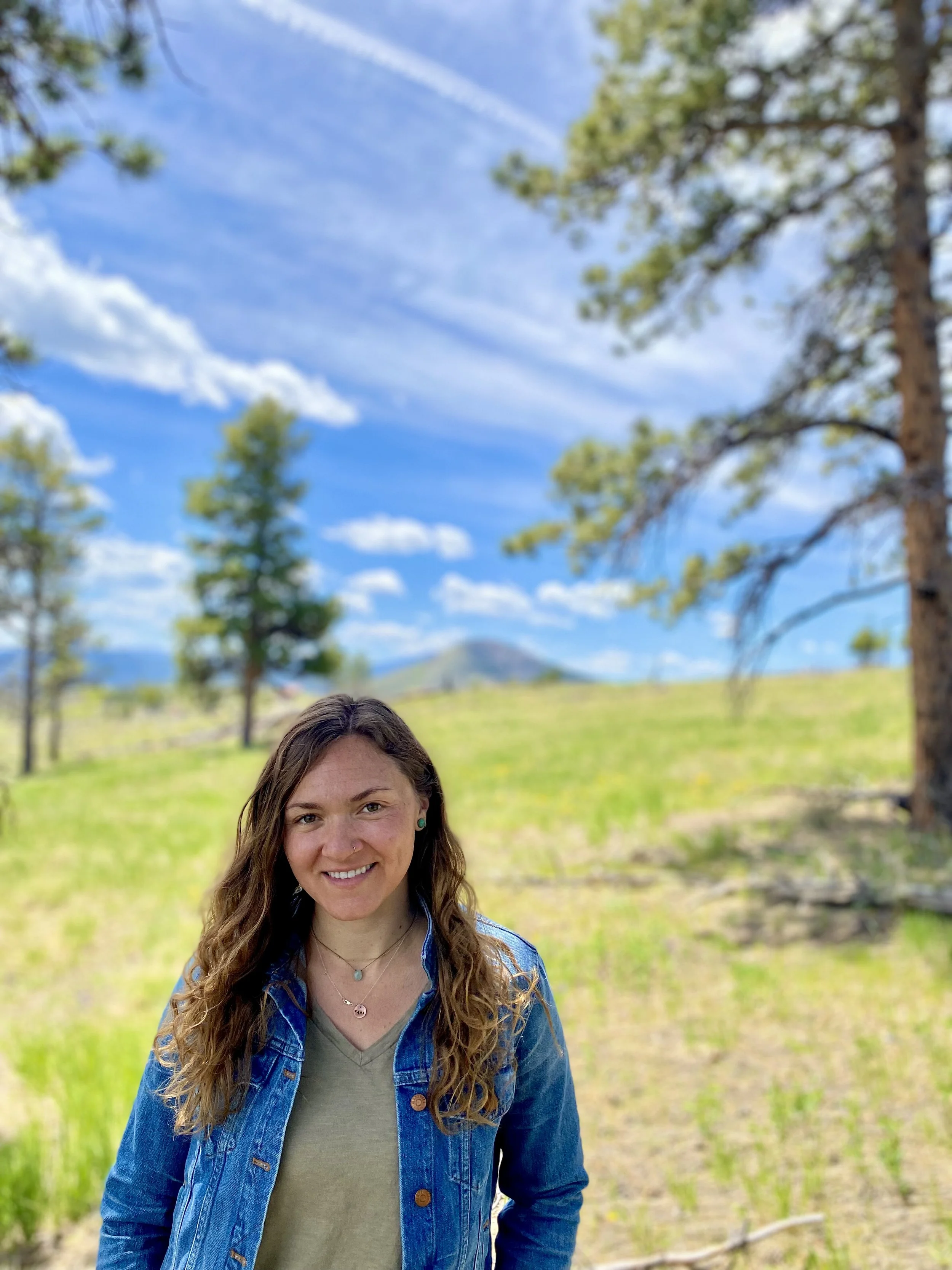
Emma Dirolf, MS GISc, GISP
Emma has many years of experience in local government with public safety and public works, as well as with water districts, fire and emergency response teams. She infuses her real world experience, education background, and passion into every project.
Emma currently works with many fire agencies in the North Area of Denver to connect projects and integrate response. She also works with departments in Boulder County. Emma gained expertise in building an integrated program for Asset Management and Public Works at the City of Boulder, in addition to breaking into the Public Safety realm. She continued strengthening skills with the City of Thornton, working as the sole GIS resource for Public Safety.
Emma has a Master of Science in Geographic Information Science from the University of Denver and a Bachelor of Science in Education from the University of Cincinnati. She is one of the founders and chapter leads of the Colorado Chapter of Women in GIS and has obtained GISP certification through GISCI. Emma also sits on the board of the GIS in the Rockies Conference.
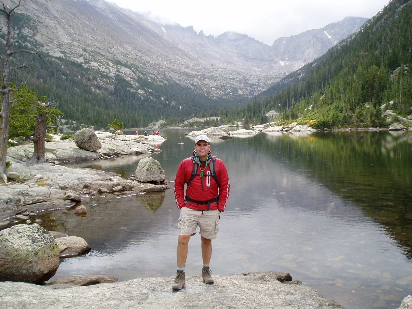
David “Barney” Barnett
David is a Certified Professional Geologist registered in good standing with the American Institute of Professional Geologists and has over 35-years applied project experience within the geospatial and geoscience fields. David obtained a Bachelor of Science degree in Geology from Fort Lewis College in Durango and a Professional Certificate Degree in Geographic Information Science from Metropolitan State University Denver. David is dedicated to providing adaptive intelligent geospatial and geoscience solutions to geospatial, geodesign, and geoscience projects alike. To each project he drives seamless microservice integration by aligning technical solutions with robust process analysis, change management, and comprehensive documentation. Passing on what he has learned throughout his career and travels, David is excited to assist early career professionals discover alternate solutions, teach kids that geology is cool (not that they didn’t already think that about rocks), and society at large about geoscience and geologic mapping. David lives on Colorado’s Western Slope near the Colorado National Monument.

Nic Vogel
Having obtained his Bachelor of Science from Colorado State University in Natural Resources Management and GIS, Nic has a strongly established foundation in a variety of geospatial analyses and timely delivery of cartography products. In his 8+ years as a GIS contractor, Nic has been a leading component for his clients in managing geospatial data and providing high-quality maps to illustrate land optimization strategies and ecological dynamics on projects that support conservation, forestry/wildfire mitigation, restoration, renewable energy development and utility mapping.
While pursuing his degree from Colorado State University, he worked as a GIS contractor for the US Geological Survey (USGS) observing land-use and vegetation changes on the Bill Williams Wildlife Refuge in Northwestern Arizona (Co-authored in publication), and mapping disturbances/infrastructure across the western US. Prior to the USGS contract, he interned with the CSU Geospatial Centroid where he was able to gain experience with a variety of in-depth spatial analysis applied in many contexts. This included land surface temperature retrieval and modeling for Colorado View (Co-authored in publication), wildlife mapping in the intermountain region for the National Park Service, and the development of an ArcHUB web-app to consolidate the Centroid’s regional spatial data and make it publicly available.
Nic is currently a digital nomad outside of Portland, OR where his wife’s most recent nursing contract landed them. In his free time, he volunteers as a Wildland/Structural firefighter for Estacada Fire & Rescue, while pursuing his love for outdoor adventure that is abundantly offered in the Pacific Northwest.

Work with Us
Privacy
At Viewpoint Geospatial, we operate with a straightforward approach to data: we protect the information you share with us and use it only for the projects you hire us to do.